Detailed Notes for Bihar Geography
Specifically designed Notes for Geography of Bihar can be Bought at minimum price in PDF or Printed format
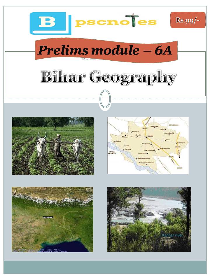
Geography  of Bihar plays a crucial role in not only Bihar PSC Prelims Exam but even BPSC Mains Exam. Bihar Geography Notes are designed by BPSC Toppers and other civil servants. Detail Notes can be browsed at the following links.
FAQs on Geography of Bihar
What is the geographical location of Bihar?
Bihar is located in the eastern part of India. It is bordered by Nepal to the north, Uttar Pradesh to the west, Jharkhand to the south, and West Bengal to the east.
What are the major rivers in Bihar?
The major rivers in Bihar are the Ganges, Gandak, Kosi, Sone, Bagmati, Budhi Gandak, and Mahananda. The Ganges is the most important river, dividing the state into North Bihar and South Bihar.
What types of soil are found in Bihar?
The major soil types found in Bihar are alluvial soil (most prevalent), sandy loam, loamy, clayey, and clay-loam. The alluvial soil, deposited by the rivers, is highly fertile and suitable for agriculture.
What is the climate of Bihar?
Bihar has a humid subtropical climate with hot summers and cool winters. The monsoon season brings heavy rainfall, mainly between June and September.
What are the major crops grown in Bihar?
Bihar is an agricultural state, and its major crops include rice, wheat, maize, sugarcane, pulses, oilseeds, and fruits like mango, litchi, and banana.
What are the natural resources found in Bihar?
Bihar is rich in minerals like pyrite, coal, bauxite, iron ore, mica, limestone, and dolomite. It also has fertile agricultural land and forest resources.
What are the major geographical divisions of Bihar?
Bihar can be geographically divided into three main regions:
- The Shiwalik Range: Located in the northeastern part of the state, it is an extension of the Himalayas and is characterized by hills and forests.
- The Gangetic Plain: This is the most extensive region, covering most of Bihar. It is a flat and fertile plain formed by the deposition of alluvium by the Ganges and its tributaries.
- The Southern Plateau Region: Situated in the southern part of the state, it consists of hard rocks like gneiss, schist, and granite, and has many conical hills.
What are some important geographical features of Bihar?
Some important geographical features of Bihar include:
- Valmiki National Park: A tiger reserve and a significant biodiversity hotspot.
- Rajgir Hills: A series of hills known for their historical and religious significance.
- The Ganges River: The lifeline of Bihar, providing water for irrigation and transportation.
- The Kosi River: Known as the “Sorrow of Bihar” due to its frequent floods.